 Floating Texas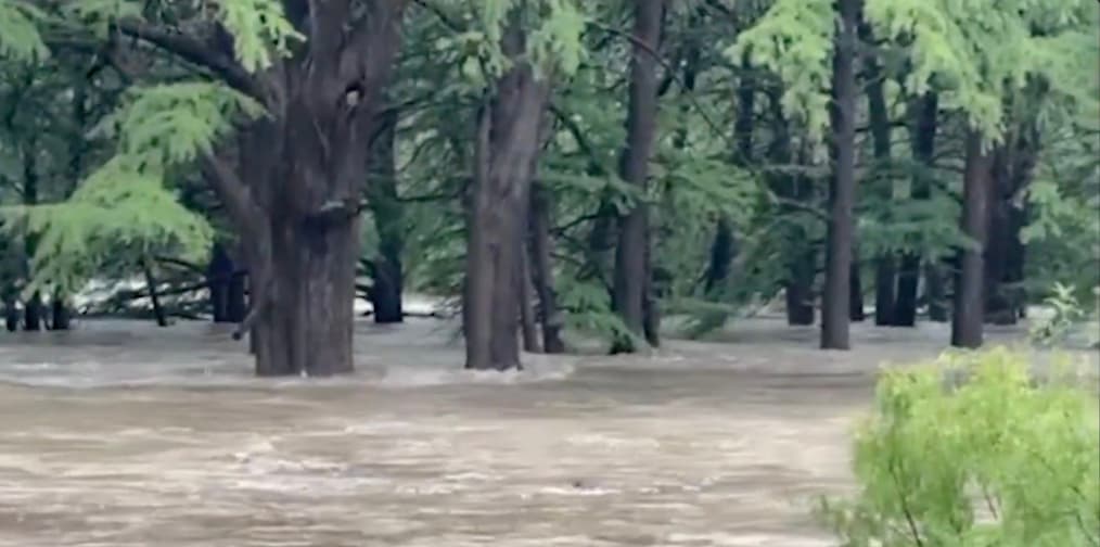
The Hill Country Is Soaked. The Frio Is Still Rising.
Radar estimates topped a foot near Hondo, roads closed across the western Hill Country, and the Frio at Concan climbed from 15.6 to 4,240 cfs in one day.
Filed at 11:30 p.m. Central on Tuesday, July 14. This covers roughly the previous 24 hours. Conditions will change overnight.
Tuesday's rain did not fall evenly across Texas. Houston and East Texas saw pockets of heavy rain. The dangerous concentration settled west and northwest of San Antonio around Hondo, D'Hanis, Sabinal, Uvalde, Bandera, and the Frio River country.
Where the rain hit hardest
North of Houston, rain falling at one to two inches an hour prompted a flood advisory Tuesday morning, according to the Houston Chronicle. East Texas had another day of heavy storms, but the numbers changed sharply west of San Antonio.
Around noon, radar estimates topped 14 inches near Hondo. More than 10 inches was reported north of Uvalde. The Associated Press reported dozens of water rescues, including at least two dozen in Uvalde. Parts of U.S. 90 were closed for hours. No deaths or injuries had been reported by Tuesday evening. Gov. Greg Abbott issued a disaster declaration for 59 counties.
Kerrville Police reported water over Third Street, Fourth Street, Goat Creek Road, and Coronado Drive. This was the department's public update.
Bandera County also closed roads near Privilege Creek, Mason Creek, Winans Creek, South Seco Creek, and First Street. The list changed during the day. Check DriveTexas before moving, then trust the barricade in front of you.
What this did to the Frio
At 11:15 p.m. Tuesday, the USGS gauge at Concan read 4,240 cfs. At roughly the same time Monday it read 15.6 cfs. Downstream near Uvalde, the reading rose from zero to 2,630 cfs.
The video below was recorded in Uvalde at 3:38 p.m. It shows East Main Street covered after more than 10 inches of rain in the area.
This is not video of the Frio channel. It is useful because it shows how much water was already moving across the same Uvalde area where the downstream Frio gauge had jumped to 2,630 cfs.
Our flood threshold at Concan is 5,000 cfs. The 11:15 p.m. reading was below that line, but it was close, still rising, and far outside a normal float day. The Uvalde gauge remained below its 8,000 cfs threshold.
A gauge below its flood threshold is not an all clear. It measures one point. It cannot tell you whether the crossing between you and home is covered or whether another pulse of runoff is coming. Check the live Frio River page and the USGS Concan gauge for the newest reading.
What comes next
The National Weather Service flood watch runs through Thursday evening. It calls for two to six inches across the watch area, with isolated totals of 10 to 20 inches possible along the U.S. 90 corridor, the southern Edwards Plateau, and the Rio Grande Plains. Saturated ground means the next hard burst will run off quickly.
The full National Weather Service flood watch has the current county list. The Texas Tribune has the clearest regional summary.
If you are near the Frio or a low crossing tonight, do not drive out to look at the water. Keep emergency alerts on. Know the quickest route to higher ground before you go to sleep.