Real-Time Texas River Floating Conditions
Check river levels before you float. Live conditions for tubing, kayaking, and swimming in Texas Hill Country.
2 rivers with good conditions today
Current River Levels
Live data from USGS monitoring stations, updated every 15 minutes
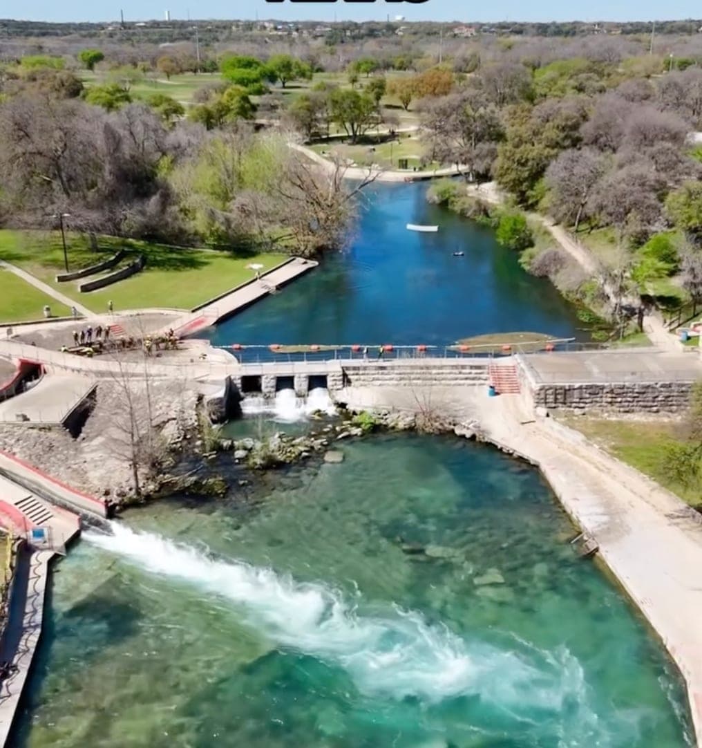
Guadalupe River
337 cfs at Comfort. Ideal for tubing and kayaking. Ideal range: 150-400 cfs.
Comal River
219 cfs at New Braunfels. Fair conditions, use caution. Ideal range: 60-90 cfs.
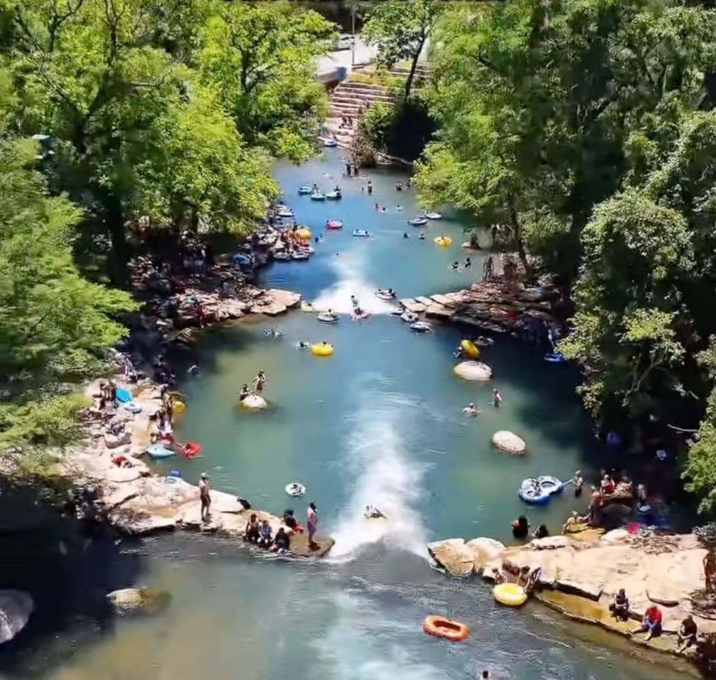
San Marcos River
134 cfs at San Marcos. Ideal for tubing and kayaking. Ideal range: 100-200 cfs.
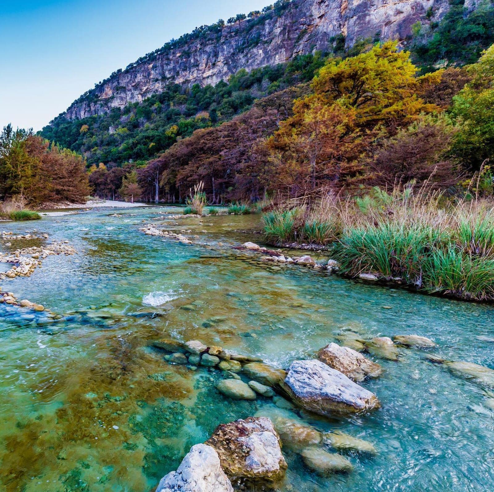
Frio River
865 cfs at Concan. Fair conditions, use caution. Ideal range: 50-200 cfs.
Over 1 million people tube Texas rivers annually. Data from 12 USGS monitoring stations.
How It Works
Check River Levels
We pull live data from USGS monitoring stations and translate flow rates into easy-to-read letter grades.
Find Places to Tube & Kayak
Compare conditions across the Guadalupe, Comal, San Marcos, and Frio to find the best water for your adventure.
Find Put-In Spots
Discover access points with parking info, amenities, and activity details. Know exactly where to go.
Best Places to Tube & Kayak in Texas
Four iconic Hill Country rivers for tubing, kayaking, and floating. Check conditions and find access points.
Live Texas River Levels for Tubing & Kayaking
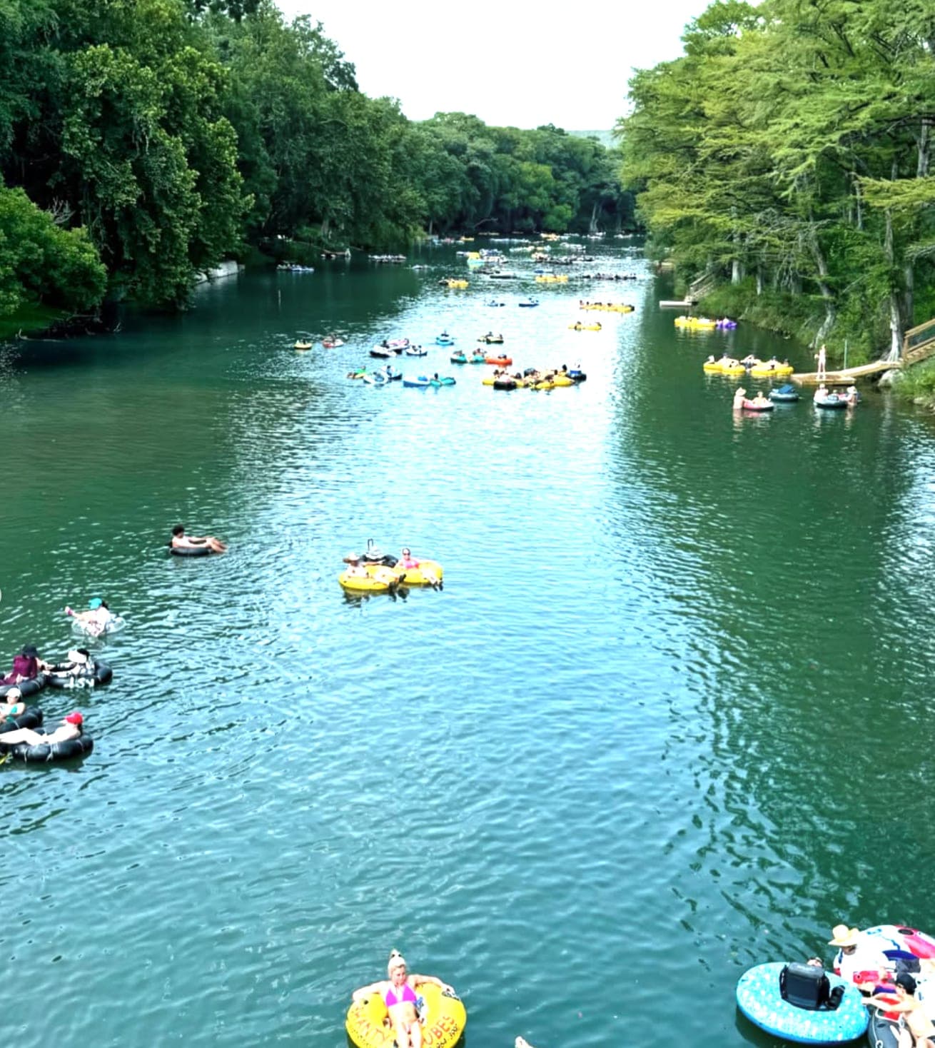
Floating Texas provides real-time river levels and water conditions for the best places to tube and kayak in Texas Hill Country. Over 1 million visitors tube the Guadalupe River each year, making it the most popular tubing destination in Texas. Whether you're planning a tubing trip down the Guadalupe, a kayaking adventure on the San Marcos, a swimming excursion to the Frio, or a peaceful float on the Comal, our live data helps you choose the perfect day for your river adventure.
What is the river level? We pull water level and flow rate data directly from 12 USGS monitoring stations along each river, updated every 15 minutes. Flow rates are measured in cubic feet per second (cfs), which tells you how much water is moving through the river. Ideal tubing conditions on the Guadalupe are typically 150-400 cfs. Higher flows mean faster currents and deeper water, which can be great for kayaking but potentially dangerous during flooding. Lower flows can expose rocks and make some tubing sections impassable. Our letter grade system (A through F) translates these numbers into easy-to-understand ratings so you know at a glance whether conditions are ideal for tubing, kayaking, or floating.
Best places to tube in Texas: The Guadalupe River is the most popular tubing destination in Texas, running through New Braunfels and the iconic Gruene Historic District. The Comal River, also in New Braunfels, maintains a consistent 72°F water temperature year-round thanks to spring-fed waters from Comal Springs, making it perfect for families and beginner tubers. The Frio River in the Hill Country west of San Antonio drops to 68°F even in summer, providing a refreshing escape from Texas heat.
Best places to kayak in Texas: The San Marcos River flows through the heart of San Marcos with easy access near Texas State University. Its springs maintain a consistent 72°F year-round, making it ideal for kayaking in any season. The Guadalupe River offers longer kayaking routes through scenic Hill Country terrain. Always check current river levels before kayaking, especially after heavy rain when flows can spike dramatically and make conditions dangerous.
Use our interactive map to explore put-in spots and access points, check current river conditions before heading out, and discover new places to tube and kayak along your favorite rivers. We track 4 major Hill Country rivers with over 25 access points, each with details on parking, restrooms, tube rentals, and kayak launches.
Frequently Asked Questions
What is the river level right now?
River levels change throughout the day based on rainfall and dam releases. We display live flow rates in cubic feet per second (cfs) from USGS monitoring stations, updated every 15 minutes. Check the river pages for current readings on all Texas Hill Country rivers.
Is the river too high for tubing?
When river levels are too high, tubing becomes dangerous due to fast currents and debris. Our grading system accounts for this. Grades of D or F typically indicate the river is too high or too low for safe tubing. Always check conditions before heading out and avoid rivers during or immediately after heavy rain when flooding is possible.
Where are the best places to tube in Texas?
The Guadalupe River near New Braunfels is Texas' most popular tubing destination, with numerous outfitters in Gruene offering tube rentals and shuttle services. The Comal River offers a shorter, family-friendly float also in New Braunfels. The Frio River near Concan is perfect for those seeking a more secluded Hill Country tubing experience.
Is kayaking safe when the river is flooding?
No. Kayaking during flood conditions is extremely dangerous, even for experienced paddlers. High water brings fast currents, submerged obstacles, and debris. Wait until river levels return to normal ranges (grades A through C on our scale) before kayaking. Always check current conditions and local weather forecasts before any river trip.